Geospatial

Pond Geospatial is a multi-disciplinary group that provides a full spectrum of geospatial services to Defense, Federal, Community, Coastal and Environmental Planning, Energy, Aviation, and Transportation Markets.
In order to achieve a firm baseline of information for planning and design initiatives, Pond integrates the use of Geographic Information Systems (GIS), Remote Sensing, and Survey services to acquire and develop a foundation of vertical and horizontal infrastructure data for all projects. Our products are standardized and incorporated into spatial analysis and stand-alone application systems to best support, grow and visualize our clients’ future goals.
Geospatial Services
- Application Development
- Aerial Imagery Acquisition
- ArcGIS Online (AGOL) Consultation and Management
- ArcGIS For Portal Consultation and Management
- Cartographic Mapping Products
- Enterprise Geospatial Solutions
- Environmental Analysis
- Geospatial Database Development
- GIS Server Development
- GPS Field Surveying
- Image Processing and Data Extraction
- Land Use and Parcel Data Development
- LiDAR Processing and Data Extraction
- Project Management
- Remote Sensing
- Routing and Network Analysis
- Spatial Surface Analysis
- Training and Support Services
Primary Markets
- Federal
- Military
- Municipal
- Transportation
- Energy
- Environmental
- Coastal Restoration
- Civil Works

Sam Briuglio, GISP
Senior Vice President
504.784.6362

Gina John
Program Manager
504.784.6365
Related Projects
Related News
“Fueling a Worldwide Mission” Article Featured in The Military Engineering Magazine
Project Manager John Malutich’s article “Fueling a Worldwide Mission” was featured in the November | December issue of The Military Engineer (TME) magazine. The article discusses a new state-of-the-art fueling station designed and constructed by Pond at Moody Air...
Pond Awarded Contract to Design Hangar for future Air Force One Aircraft
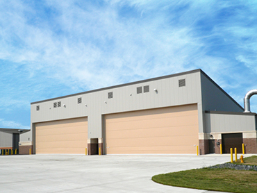
Pond, in a Joint Venture with FSB, was awarded a contract by Naval Facilities Engineering Command (NAVFAC) Washington for architectural and engineering services for the Hangar 21 Complex. This aviation facility at Joint Base Andrews will support the proposed Boeing...
New Centralized Headquarters for USAF GLOBAL STRIKE COMMAND
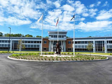
The new Mission Support Group (MSG) Complex at Barksdale, AFB supports the consolidation of the 2nd MSG and related functions into a new centralized command headquarters for the USAF Global Strike Command (AFGSC). The 2nd MSG was charged with collocating approximately...


