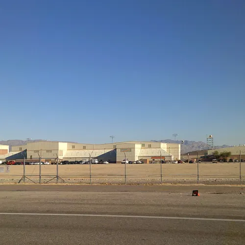
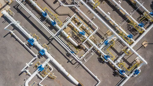
Pond’s multi-disciplinary geospatial practice provides a full spectrum of services to achieve a firm baseline of information for planning, design, and management initiatives. Pond integrates the use of geographic information systems (GIS), remote sensing, and data collection services to acquire and develop a foundation for vertical and horizontal projects. Pond specializes in supporting clients with Federal Government Civilian Agencies, U.S. Department of Defense, State and Local Government, and the Energy sector. Using both portal and web application advanced solutions, we help our clients make strategic decisions and overcome workflow and process challenges.
Capabilities
- Advanced Geospatial Technology Solutions (ESRI Software)
- Application Development
- Aerial Imagery Acquisition
- ArcGIS Enterprise Solutions, Consultation, and Management
- As-Built Surveys
- Asset Management
- Traceable, Verifiable and Complete (TVC)
- Cartographic Mapping Products
- Data Analytics and Network Analysis
- Environmental Analysis
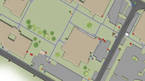
- GIS Database and Data Development
- GIS Real-Time Field Data Collection (Survey 123, Field Maps, etc.) and GPS Survey
- High Consequence Analysis (HCA)
- Medium Consequence Analysis (MCA)
- Image Processing and Data Extraction
- Land Use and Parcel Data Development
- Land Management and Acquisitions
- LiDAR Processing and Data Extraction
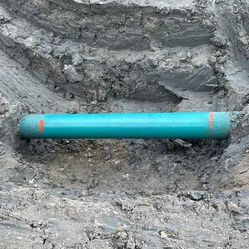
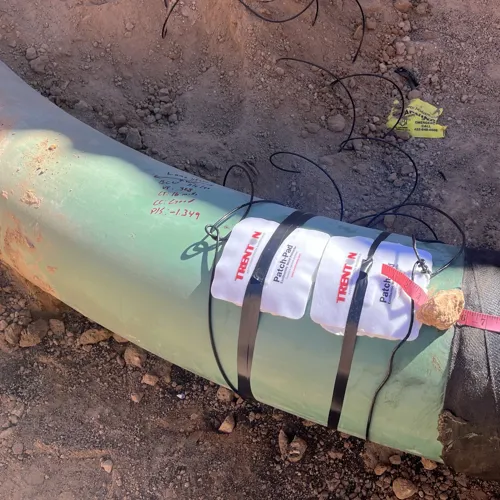
- Piping Alignment and Route Studies
- Project Management
- Remote Sensing
- Route Planning and Mapping
- Spatial Surface Analysis
- Training and Support Services
Featured Projects