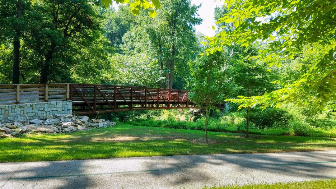

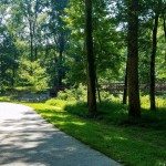
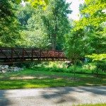
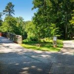
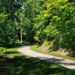
As the Atlanta BeltLine continues to grow around the City of Atlanta, more and more communities seek connection to this transformative project. More than 11 miles of connector trails and spur trails are envisioned to connect to the BeltLine main corridor. Working with PATH Foundation, in Southwest Atlanta, Pond developed a Master Plan for the implementation of feeder trails to the main BeltLine corridor. The first 1.15 mile phase designed and implemented connects the Beecher Hills community and elementary school to the existing Lionel Hampton Trail and designated on-street bike facilities, which feed to the BeltLine corridor in Atlanta’s West End. This phase included Georgia EPD State Water Buffer Variances, sections of pervious paving where the trail encroaches the buffer, and a 100-foot bridge over Utoy Creek.
Southwest BeltLine Connector Trail - Atlanta, GA
Community Development, Landscape Architecture, Trails & Greenways